Some hikes feel like a day out. Others feel like a different world entirely. The three-summits route through the heart of the Serra de Tramuntana belongs firmly in the second category. Up here, among the highest peaks on the island, the limestone ridges are sharp and the air is crisp. The terrain demands your full attention. And the rewards are simply extraordinary. Three summits above a thousand meters, sweeping panoramas stretching from Puig Major to the shimmering coastlines of the north, west, and south, while the reservoirs of Cuber and Gorg Blau glitter like two gemstones set into the mountain folds below. The ridgeline connecting Sa Rateta, Na Franquesa, and Puig de l’Ofre does not ask for a casual commitment. But for those who show up ready, this three peak hike is as good as Mallorca hiking gets.
Along the Reservoir and Into the Barranc
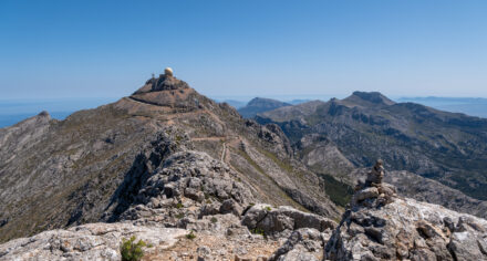
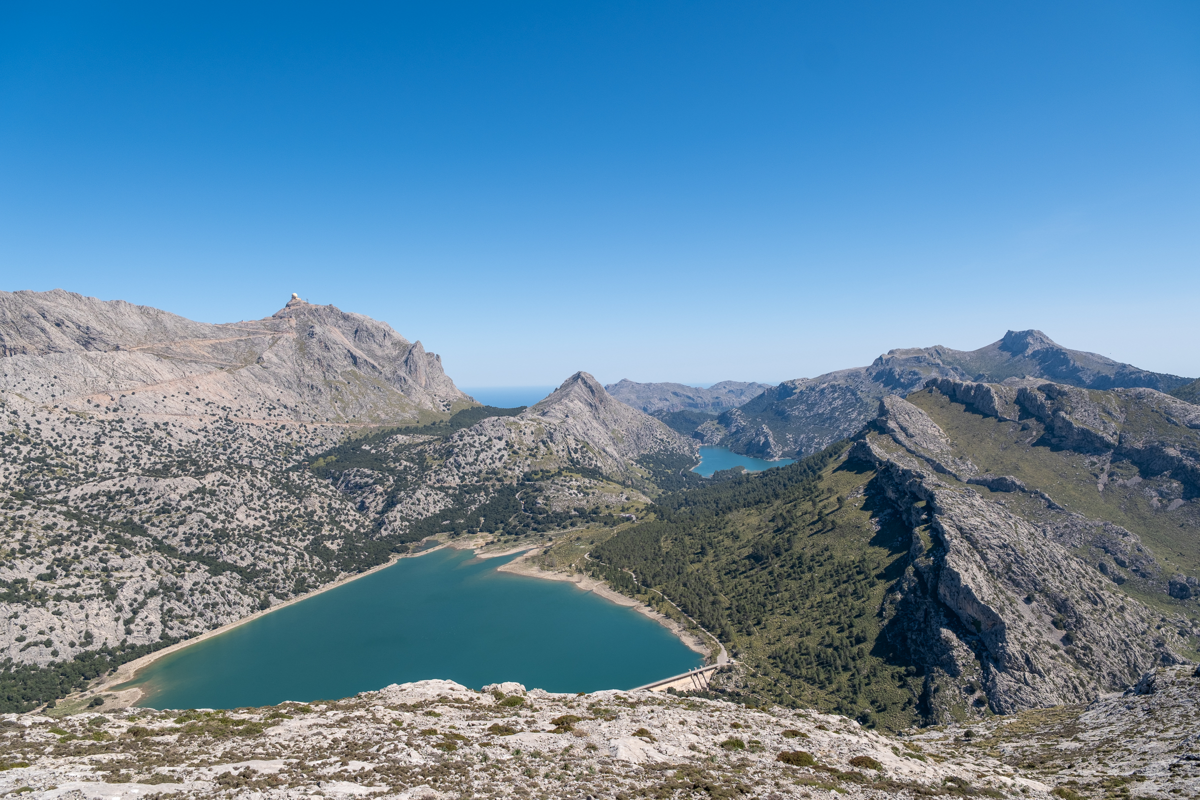
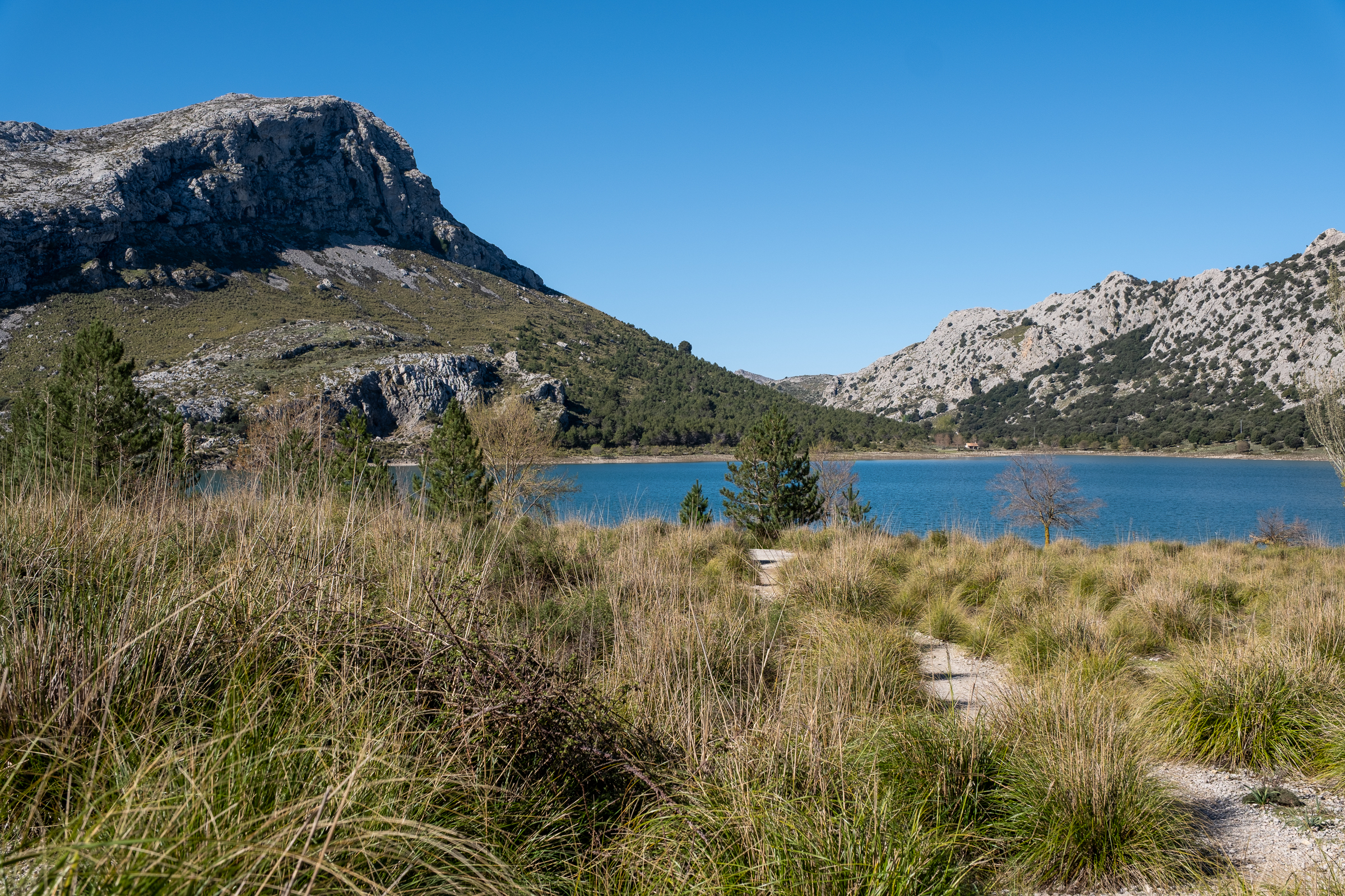
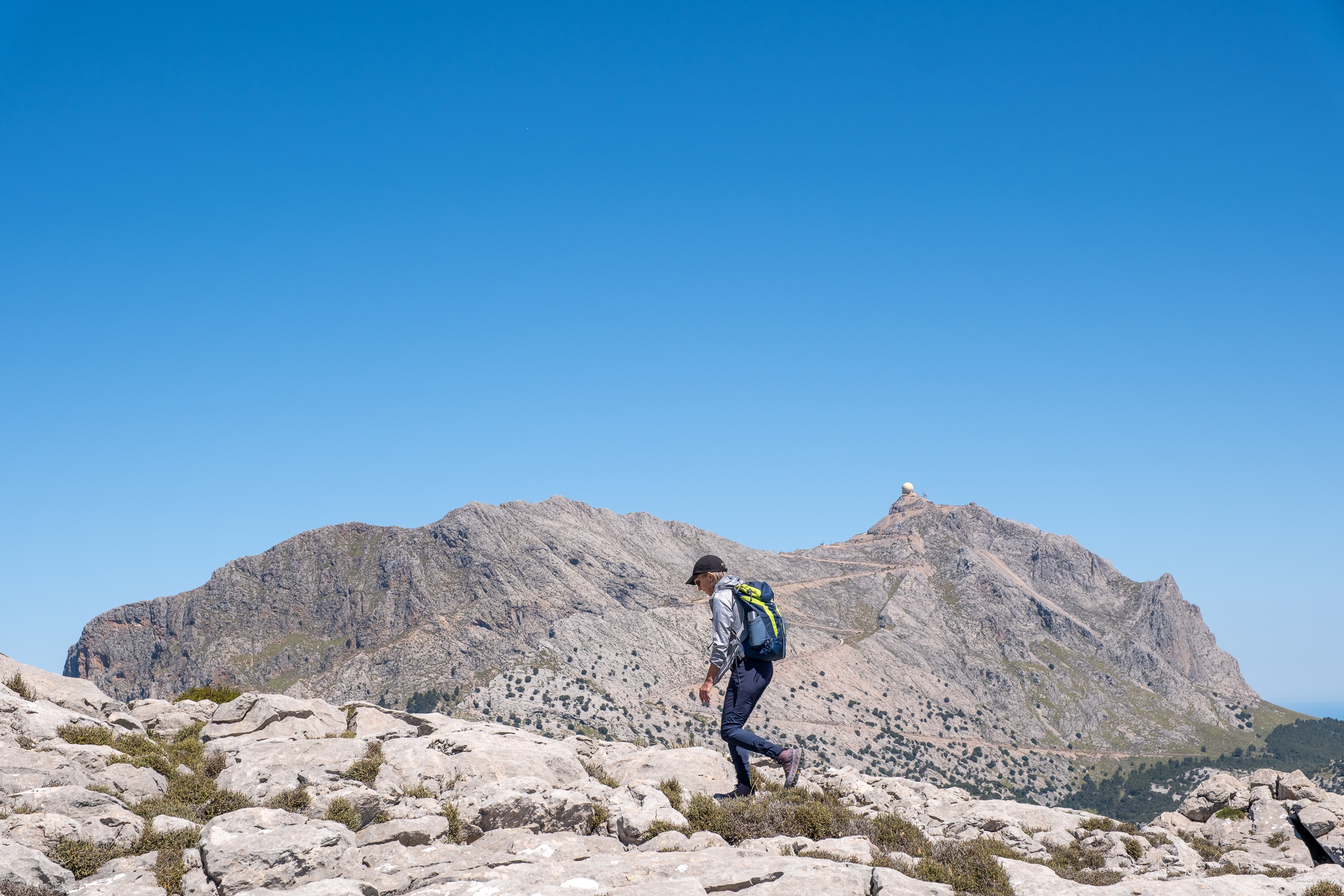
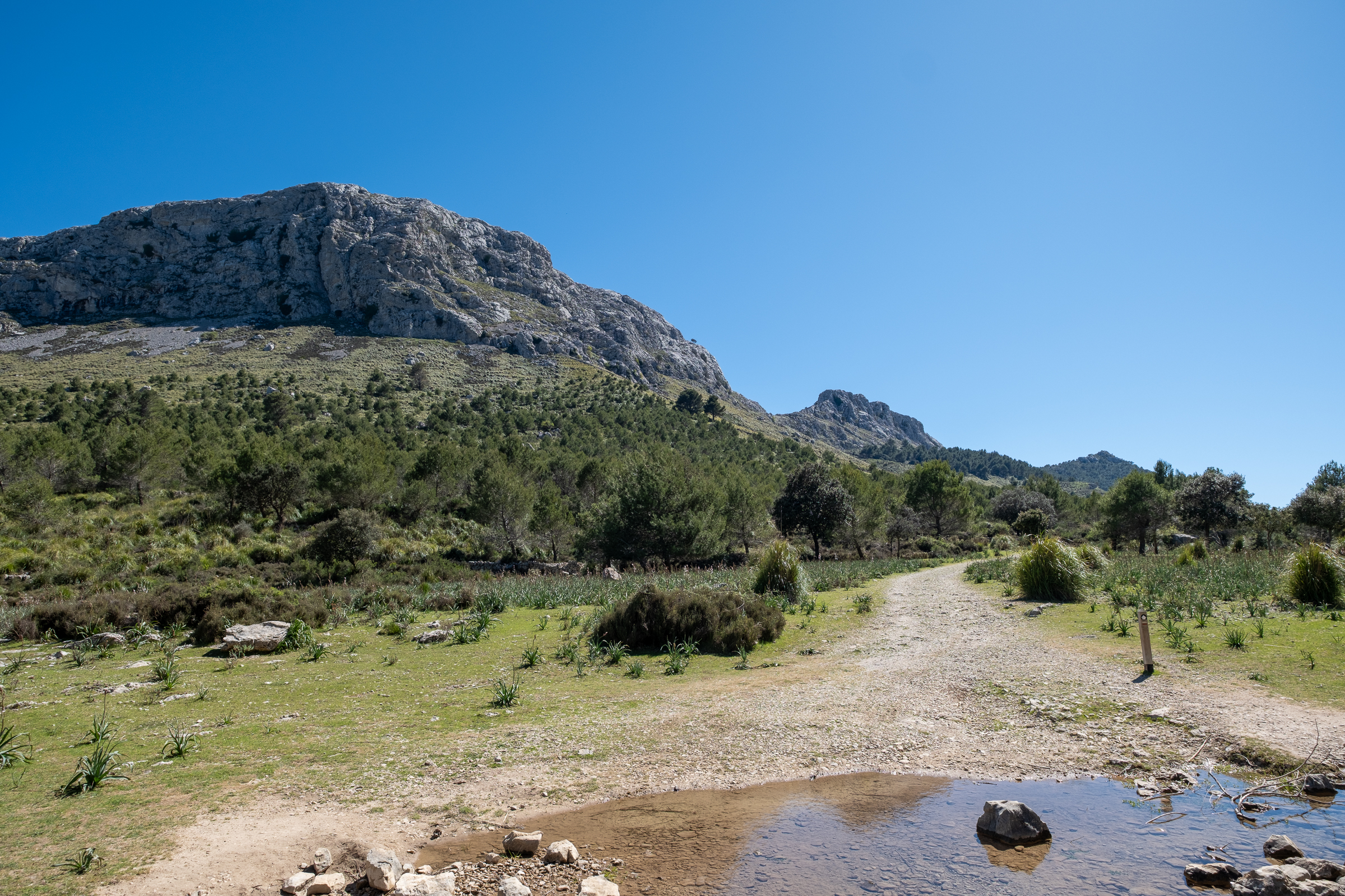
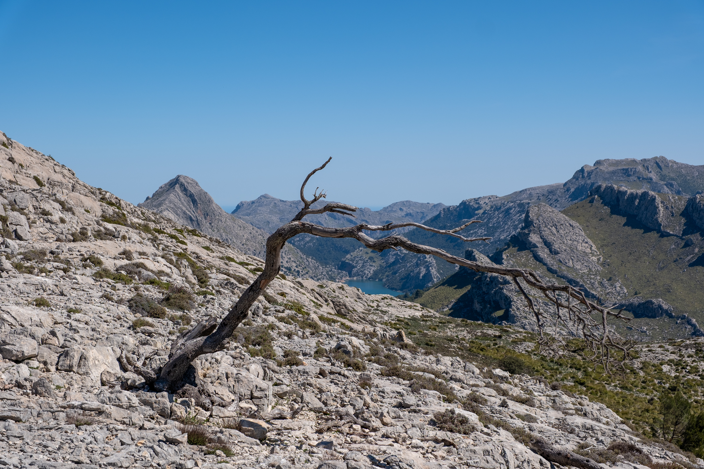
The adventure starts along the Cuber reservoir, directly beneath the gaze of Puig Major, Mallorca’s highest summit at 1,445 meters. Its radar dome is clearly visible against the blue sky. From here, the path begins gently, following the edge of the reservoir with the mountains rising steeply on your right. The landscape already feels remote, more Pyrenees than Mediterranean island. Then, just before the dam wall, the route turns into the Torrent d’Almadrà and the real three peak hike begins.
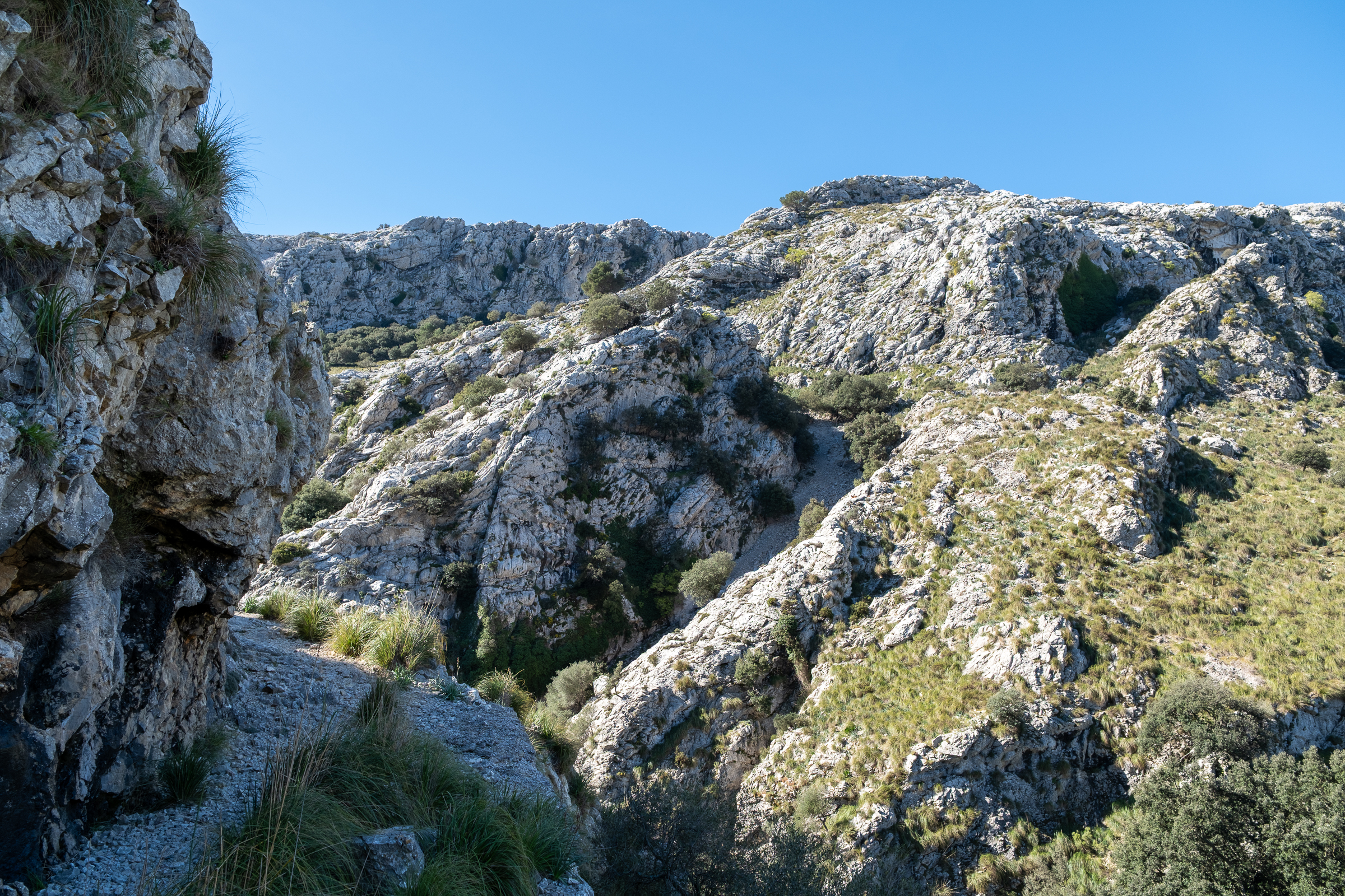
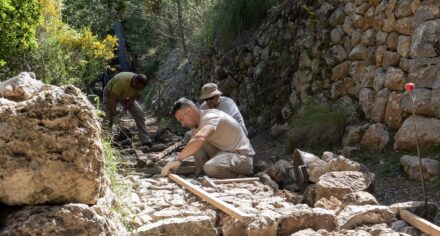
Soon the path gives way to a stone-paved track winding purposefully upward. This is a camí de neu, a snow collector’s path, and it carries a fascinating story. For centuries, before refrigeration existed, teams of nevaters spent their winters packing the season’s snowfall into deep stone cisterns, compressing it into solid ice blocks and carrying them down to the towns and cities of Mallorca. The path you walk today is the direct physical legacy of that trade.
Sa Rateta: The Little Rat and Her Glittering Kingdom
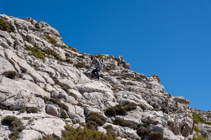
Near the terminus of the camí de neu, the remnants of a snow house and a dark opening of a stone pit mark where harvested snow was once compressed into ice. Then the trail pulls you upward again, steeper and rockier, onto the first summit: Sa Rateta, at 1,113 meters. The name translates as “little rat“. Whether a reference to the mountain’s shape, some long-forgotten local story, or simply dry Mallorcan humor, nobody is quite certain.
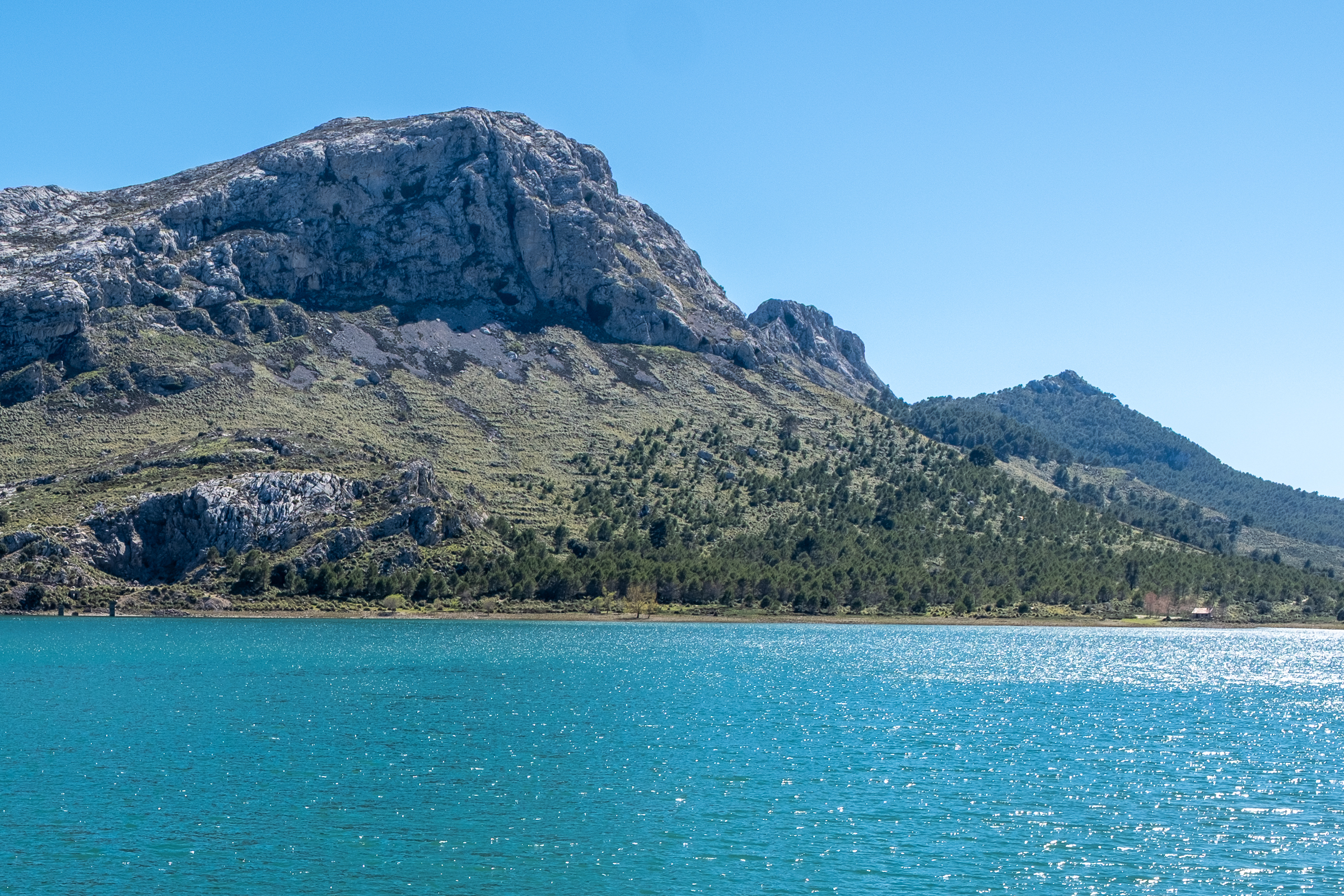
What is certain, though, is the view. From the top, the entire panorama of the high Tramuntana unfolds around you. Puig Major looms enormous and commanding. The reservoirs of Cuber and Gorg Blau sparkle far below like two blue jewels pressed between folds of grey rock. And to the other side, the ridgeline stretches clearly toward the two remaining summits of the three peak hike.
Na Franquesa: The Ridge Demands Respect
The descent from Sa Rateta is steep and rocky and calls for concentration. After crossing a broad mountain meadow bounded by an old stone wall, the ground inevitably tilts upward again. The ascent to Na Franquesa, at 1,067 meters, is short but demanding.
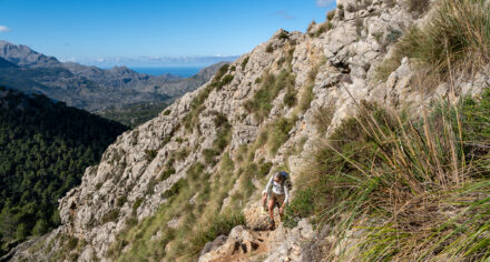
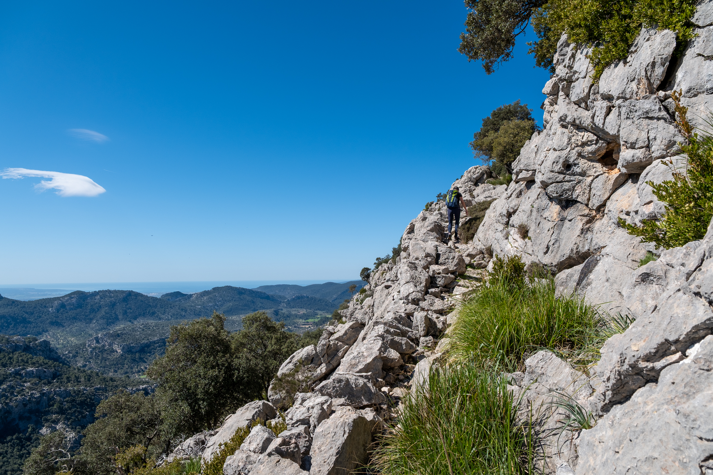
The path hugs the ridge closely, and in places the drop is significant. Because of this, the route is not suitable in foggy or wet conditions. Wet limestone is genuinely treacherous, and the exposed sections leave no room for overconfidence.
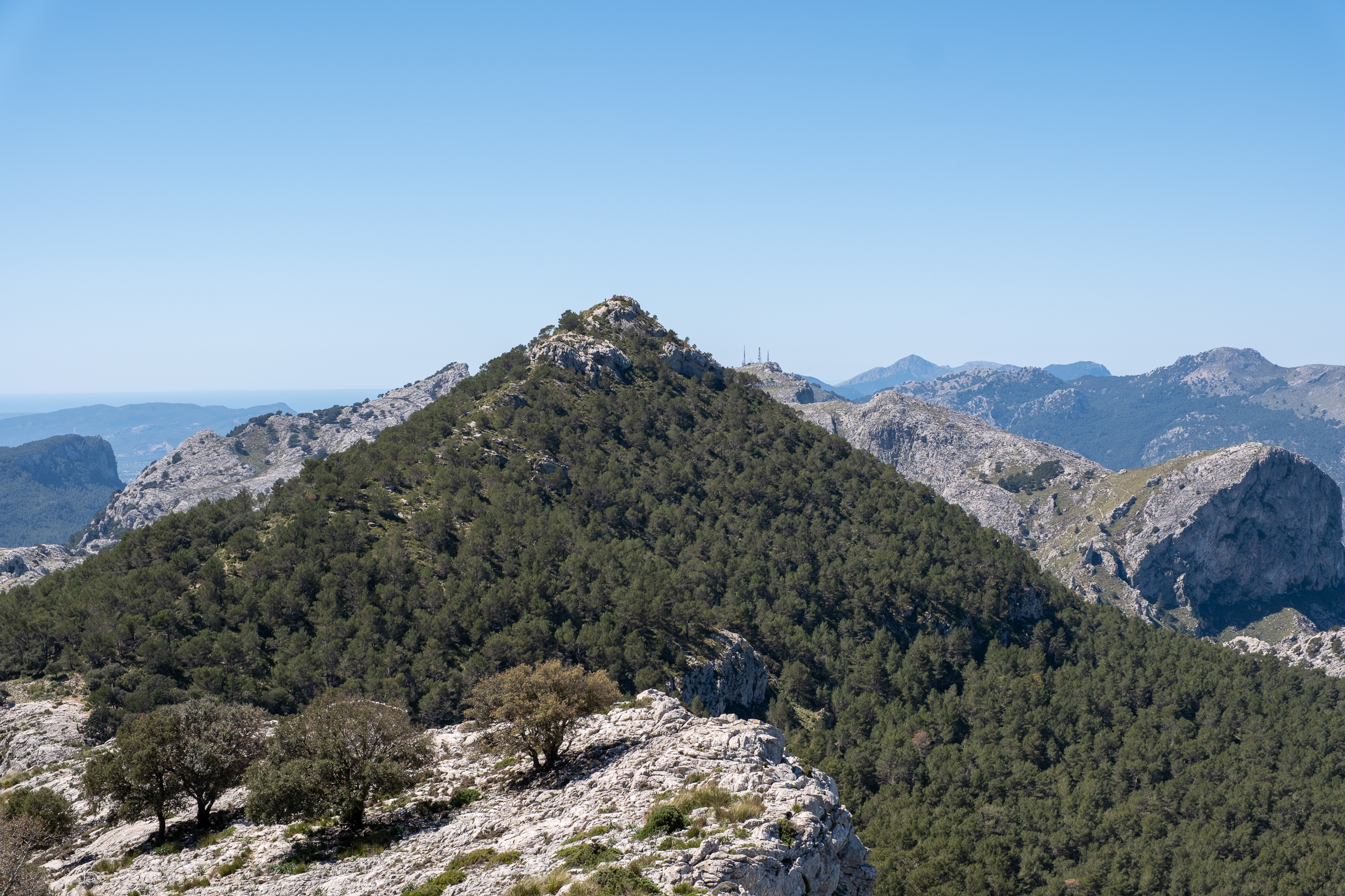
On a clear day, however, the views open dramatically. The Bay of Palma appears to the south, distant and silver. And now, for the first time, the striking summit of Puig de l’Ofre comes fully into view ahead. The full shape of the day is suddenly clear.
Puig de l’Ofre: Wind, Goats, and the Final Reward
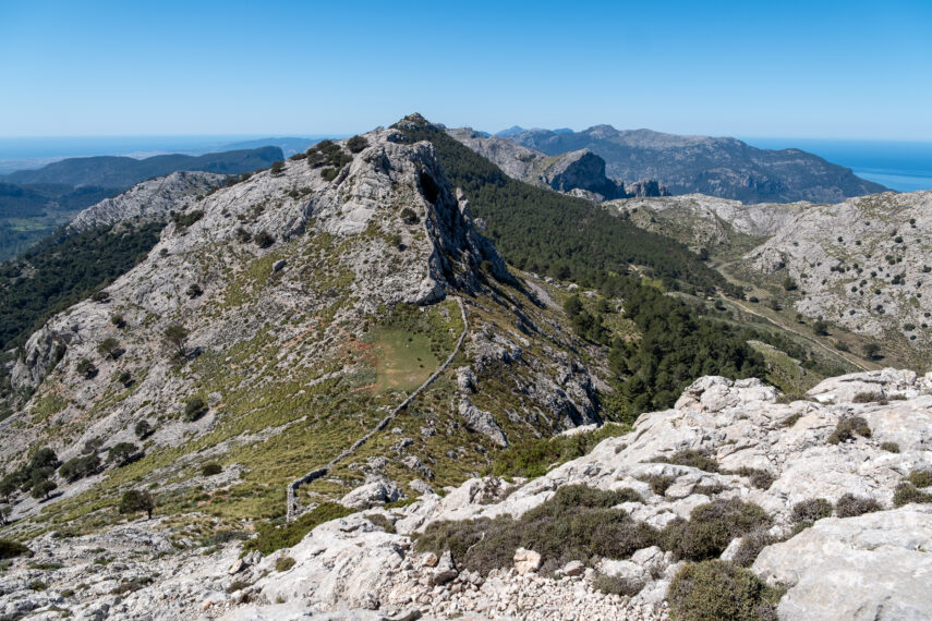
From Na Franquesa, the route descends carefully toward the Coll des Cards before the final climb of the day begins. There is a brief scramble near the top, hands on rock, feet finding ledges, before the summit of Puig de l’Ofre, at 1,091 meters, finally opens up. The wind blows strongly up here, a constant reminder of the altitude. But the view compensates completely. The twin peaks of Es Cornadors stand bold against the sky, Port de Sóller lies below as a perfect crescent of blue water, and on the clearest days the coast seems to bend gently with the curvature of the earth.
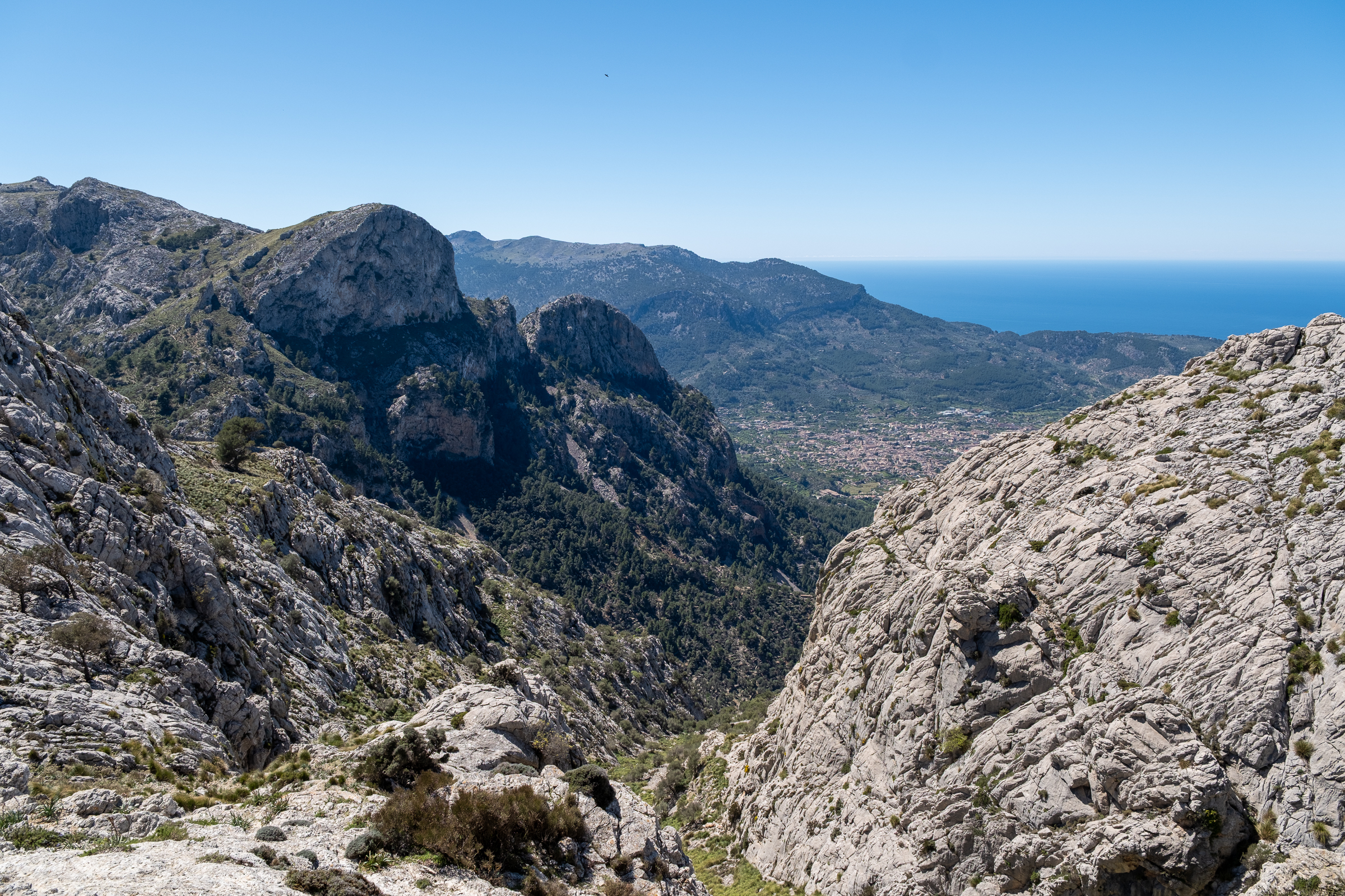
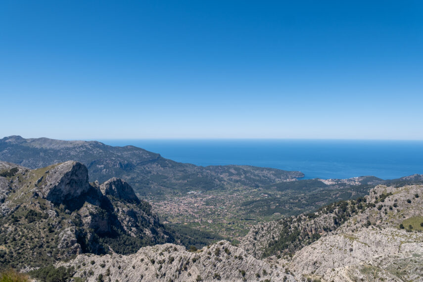
The descent follows the old Coll de l’Ofre path. As the route drops toward the valley floor, the head of the Barranc de Biniaraix opens below in a sheer, dramatic drop, one of the most impressive valley views in the entire Tramuntana.
The Tramuntana Surprises You One More Time
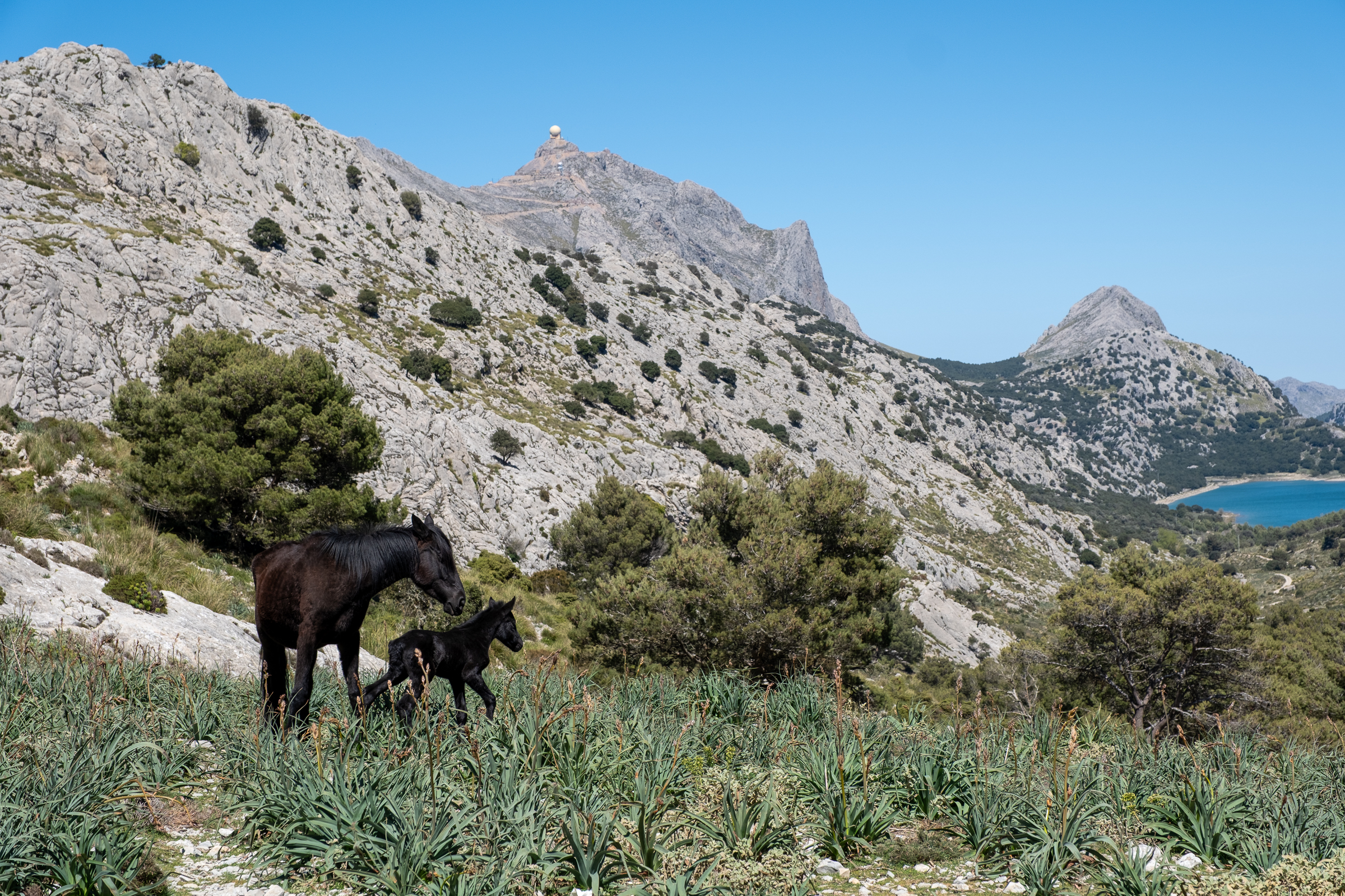
And here, on the lower slopes, the mountains offer one final surprise. Donkeys graze quietly in the scrub. Sheep move unhurriedly across the hillside. And on one particularly memorable afternoon, a horse and foal stand together in the shade, completely unbothered by the hikers passing by.
Below the Coll, the path softens, the woodland opens up, and the rhythm of the walk shifts from concentrated effort to something gentler and almost meditative. As you rejoin the edge of the Cuber reservoir and follow it back to the start, the three summits rise behind you in the afternoon light.
Sa Rateta, Na Franquesa, and Puig de l’Ofre – each one distinct, each one earned. The water glitters in the low sun. The mountains glow. It is, as these moments tend to be in the Tramuntana, quietly perfect.
What You Need to Know Before You Go
This three peak hike is a challenging mountain route that demands experience, proper gear, and solid preparation. The terrain is consistently rocky and exposed, and the ridge sections require sure-footedness and a good head for heights. Weather in the high Tramuntana can shift fast, so do not attempt this hike in fog, rain, or strong wind forecasts.
Wet limestone falls hard. Sturdy hiking boots are non-negotiable, and since there is nowhere to stop for supplies along the route, carry sufficient water and food. Layers are also essential, as summit temperatures can be significantly colder than at the reservoir. ![]()
Duration & Elevation: distance 12.3 km, ~ 4.5 – 5 h, 580 m elevation gain.
Read more about hiking in the Serra de Tramuntana here, and about hiking from Sóller, right here.