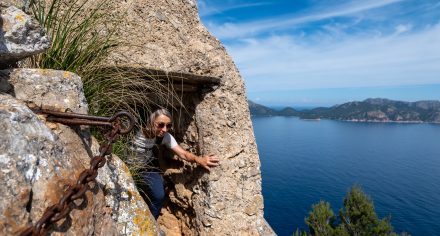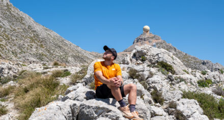
Just three kilometers, less than two hours and a summit with views across Mallorca’s southwest coast. The hike to Puig d’en Farineta is short, but it packs a punch. Steep climbs, loose stones and a trail that sometimes vanishes turn this little outing into a real adventure. Still, the reward is well worth the sweat. Expect big sea views, rugged scenery and a healthy dose of route finding.
From Farmland to Wild Terrain
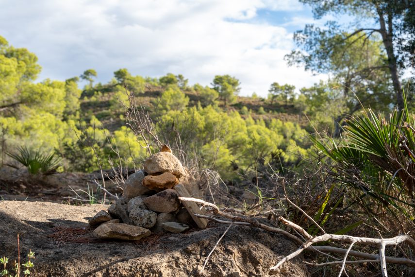
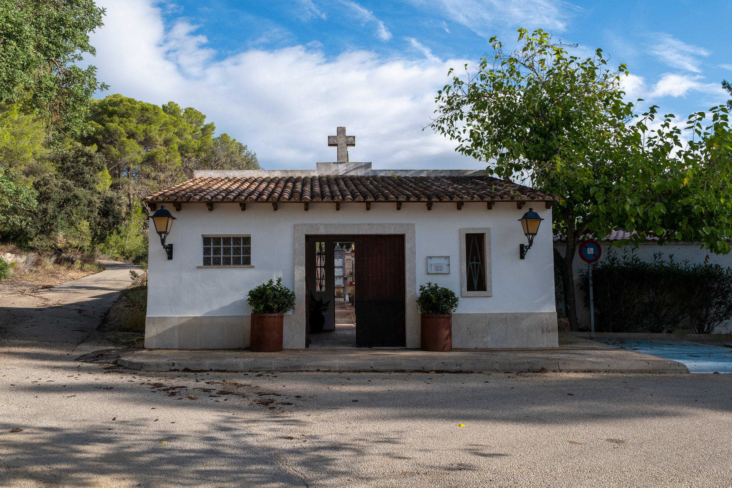
The hike starts at the Cementiri S’Arracó. At first, the route leads past almond and olive trees and patches of open farmland. After a while, the track reaches the last house. Turn right here and follow the fence for a short stretch.
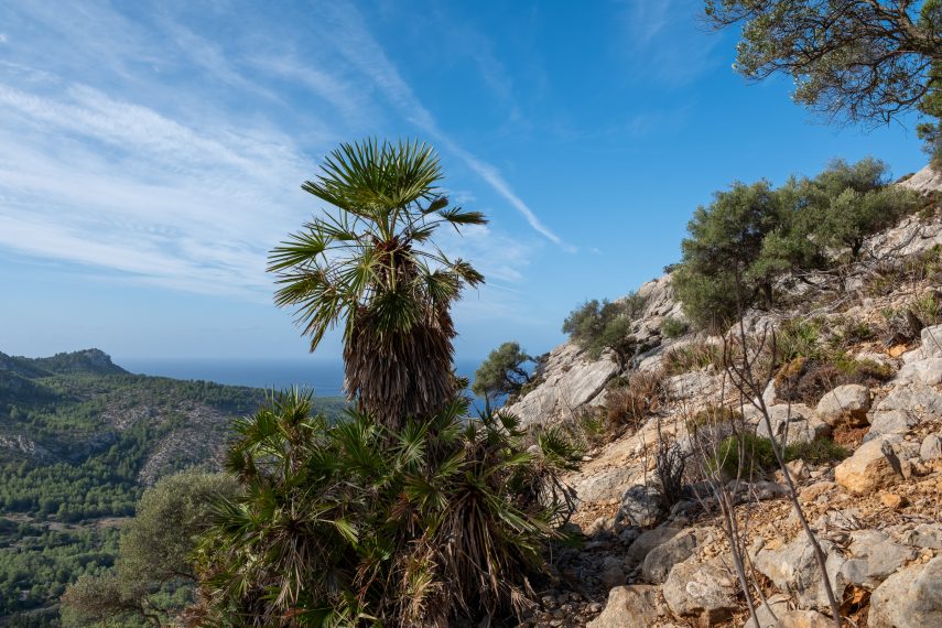
Soon, the scenery shifts, and cultivated land gives way to rocky mountainside. From now on, forget about signposts. Instead, small cairns and occasional dabs of red paint guide you toward the slopes of the Serra d’en Torres.
A Steep Climb to the Summit
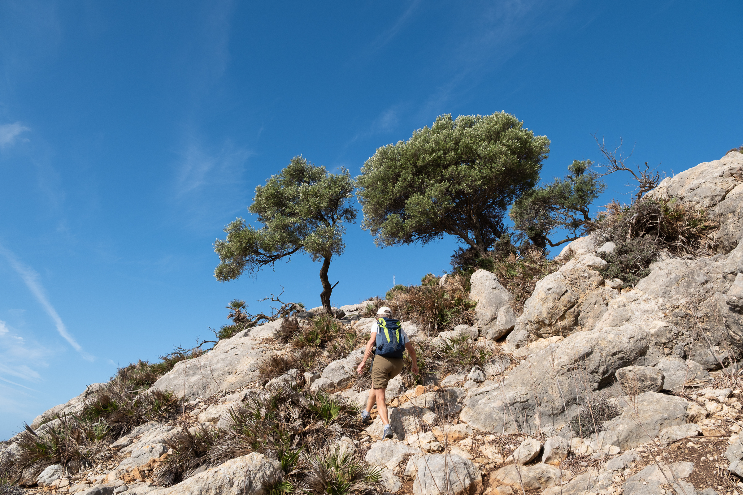
Now the trail climbs in tight, increasingly steep zigzags. Meanwhile, the terrain turns wilder. The southwest coast takes the full force of the weather rolling in from the sea, and it shows.
Jagged limestone, twisted tree trunks and plants shaped by years of wind and rain line the way. In fact, it takes less than an hour to reach the top. At 324 meters, Puig d’en Farineta is the highest point of the Serra d’en Torres.
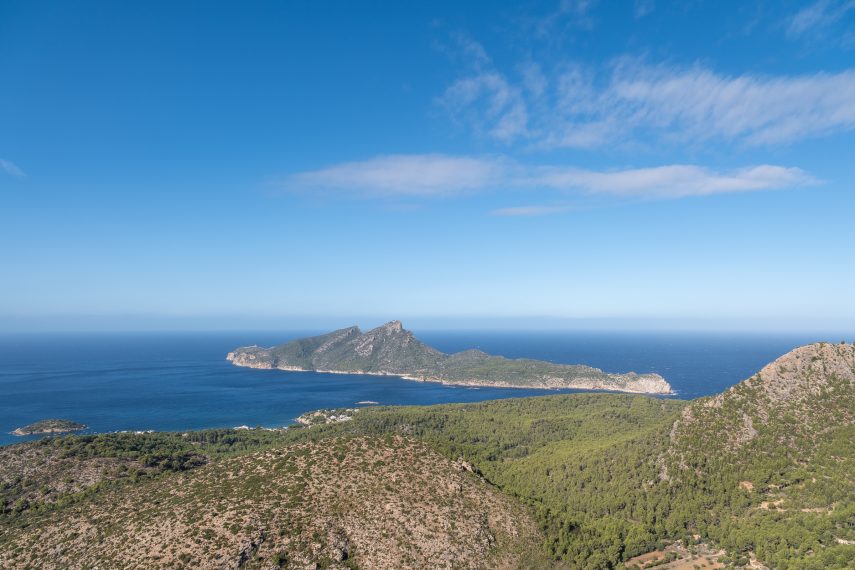
Views Over Sant Elm and Sa Dragonera
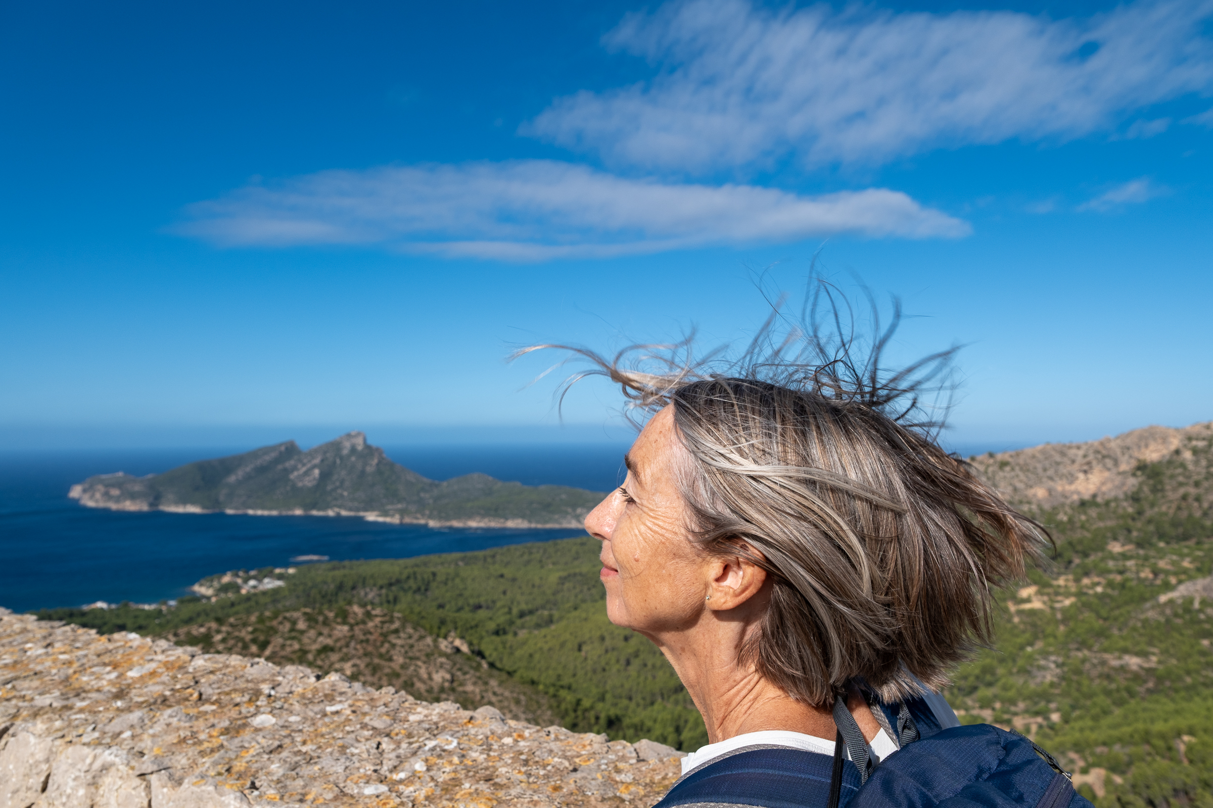
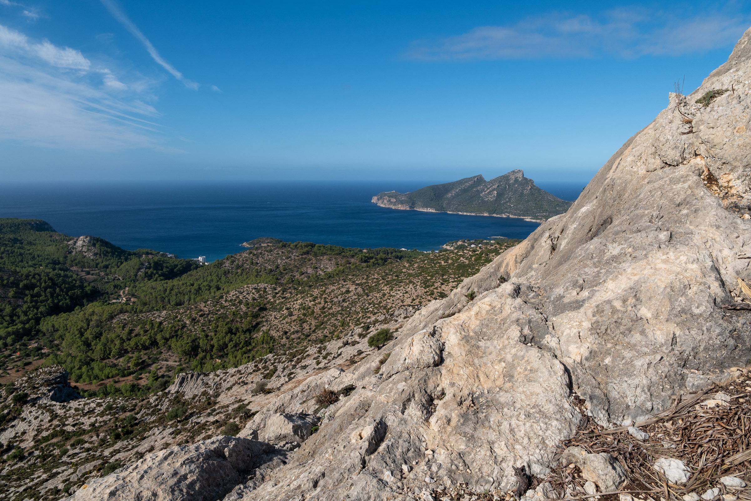
A few stone steps lead up to a small platform. Here, the wind tousles your hair while the panorama unfolds. You can spot the coastal village of Sant Elm and the unmistakable silhouette of Sa Dragonera, the sleeping dragon. Further along the coast, you can trace the paths toward La Trapa.
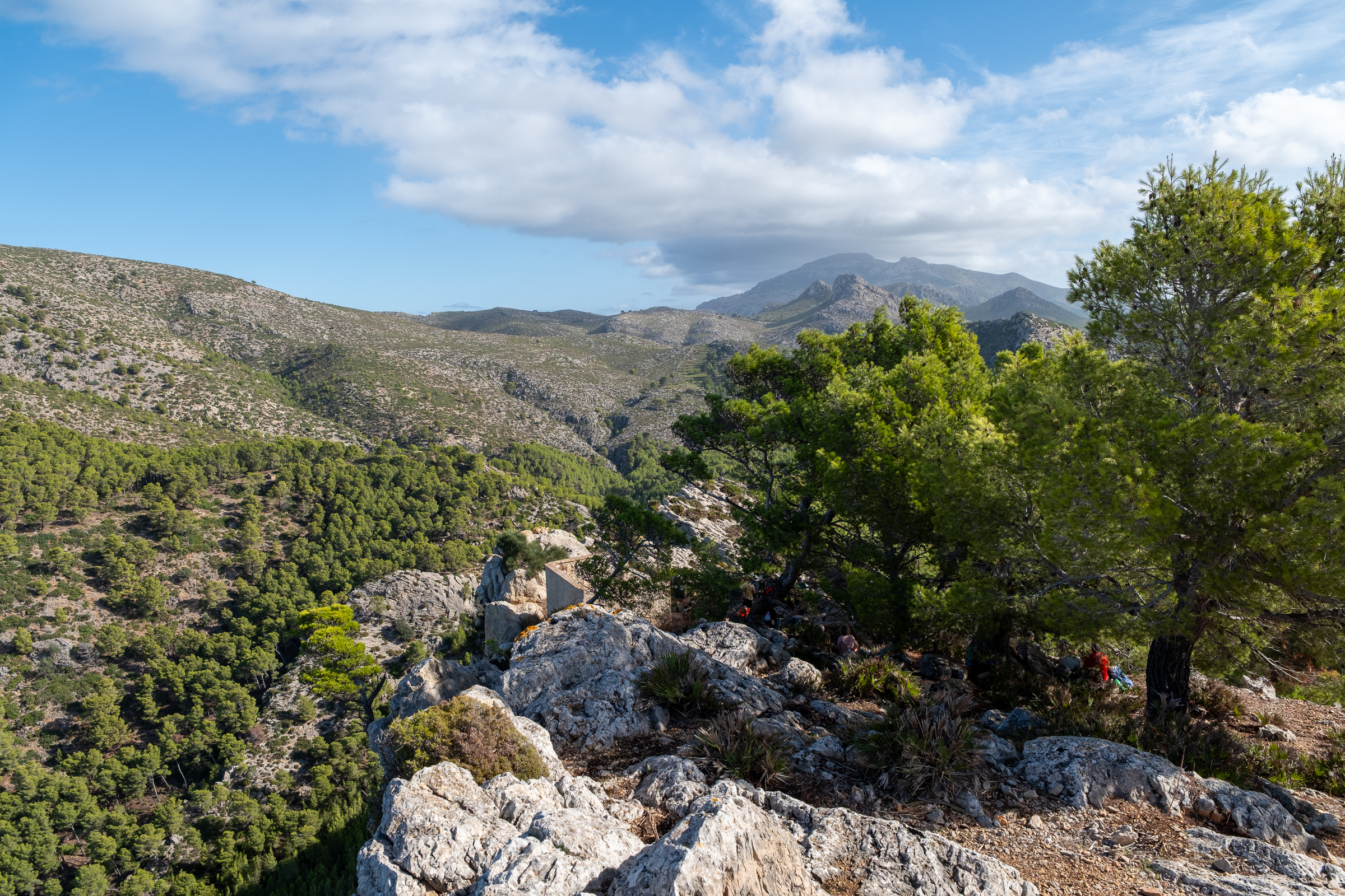
Just below the platform, the remains of a small mountain shelter stand against the sky. A plaque on its walls honors Gabriel Font i Martorell, a Mallorcan footballer and a pioneer of the island’s hiking scene. The shelter also marks the start of the return route.
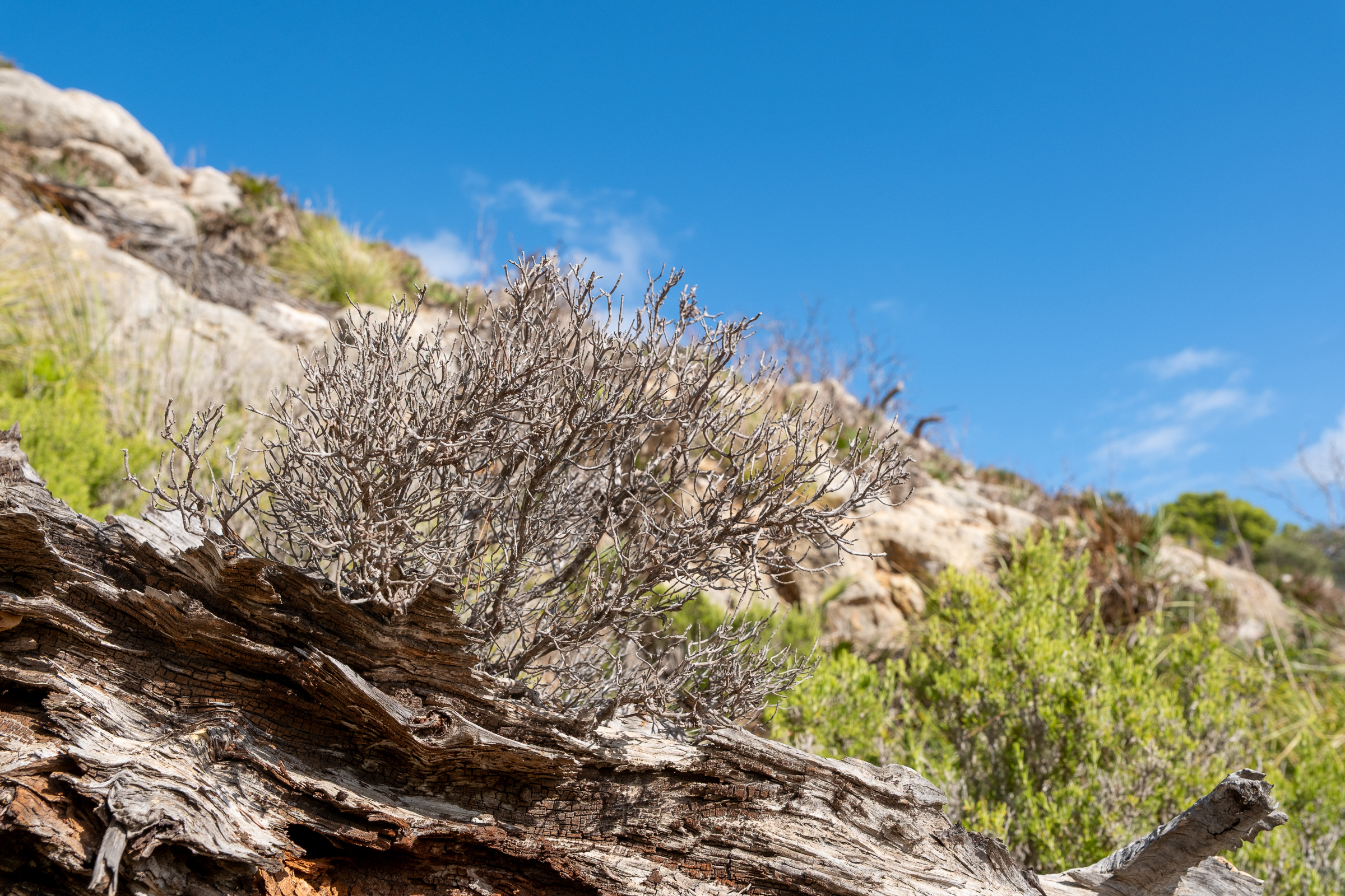
Back Down Through a Hidden Valley
The way back follows a different route and shows another side of the mountain. At first, the trail drops steeply over loose stones into a narrowing valley, so watch your footing. Before long, the landscape closes in. Thick clumps of diss grass and dwarf palms almost swallow the path.
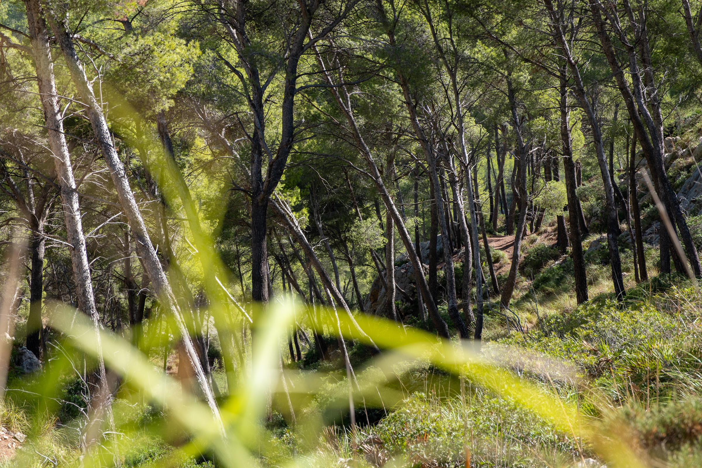
Overall, the direction is simply down, although the trail can be hard to spot beneath the vegetation. Eventually, a clearer path branches off to the right.
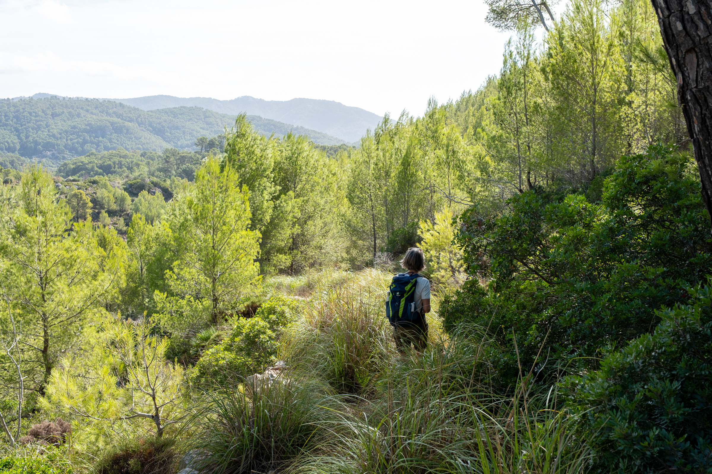
From there, the walk becomes wonderfully atmospheric as it winds through dense undergrowth in the shade of tall pines. Finally, the route follows the valley floor and then climbs gently along the upper slope back to the cemetery. 
Duration & Elevation: Distance 3 km, duration approx. 1,5 – 2 hours round-trip, elevation gain 170 m